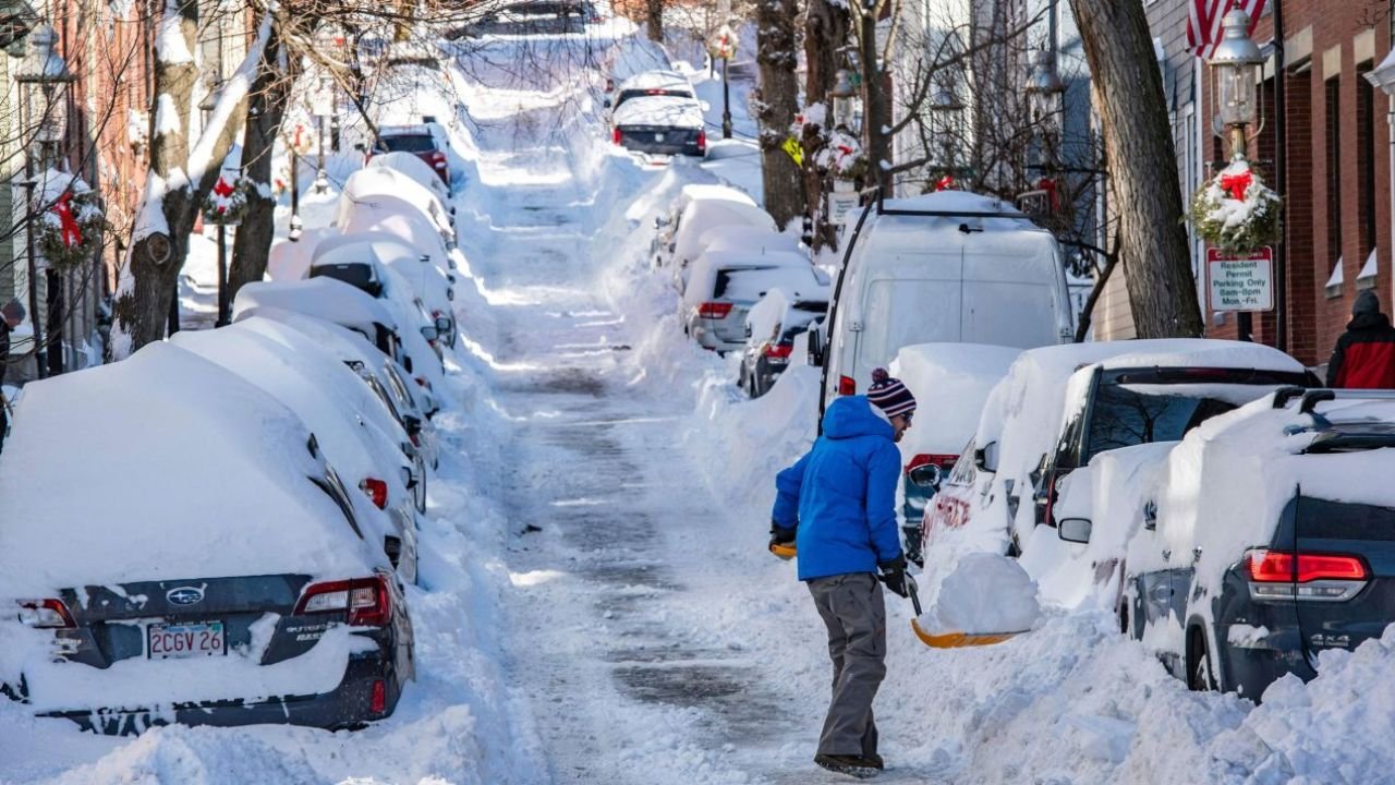
A major winter weather system is currently moving across the United States and bringing significant snowfall to multiple regions. The National Weather Service has issued official advisories for six different states. Meteorologists are predicting up to 12 inches of accumulation in the hardest-hit areas between Sunday and Monday.
Travelers and residents in affected areas are being urged to exercise extreme caution as road conditions are expected to deteriorate quickly. From the mountains of Wyoming to the coasts of Alaska and even parts of the South, this storm system is widespread and powerful.
Table of Contents
Alaska Expects the Heaviest Snowfall
The northernmost state is preparing for the most severe impact from this system. Forecasters predict that towns like Elfin Cove and Pelican will see accumulation ranging between 8 and 12 inches within a 24-hour period. Other areas such as Kake and Port Alexander are preparing for slightly less snow but are facing dangerous winds topping 40 miles per hour.
The National Weather Service notes that a shift in weather patterns is pushing cold air and moisture together. This combination is creating heavy bands of snow that will continue to move through the Icy Strait Corridor. Residents have been told to prepare for low visibility and difficult travel conditions throughout the weekend.
Wyoming and Michigan Face Hazardous Travel
The winter blast is not limited to Alaska. In the lower 48 states, Wyoming is expecting substantial accumulation. The Teton and Gros Ventre mountain ranges are forecast to receive up to 10 inches of fresh powder. This heavy snow will likely make mountain passes treacherous for drivers.
Michigan is also dealing with dangerous lake-effect snow. Central and Western Chippewa counties could see up to six inches of accumulation. The weather service warned that lake-effect storms can be unpredictable. You might experience clear skies in one mile and whiteout conditions in the next. Drivers are advised to slow down and keep their headlights on.
Rare Snowfall for the South
Perhaps the most surprising part of this weather report is the forecast for the southern United States. Parts of South Carolina and Virginia are included in the winter storm advisories.
Forecasters expect up to five inches of snow in specific regions of these states. Since these areas are less accustomed to heavy winter precipitation, even smaller amounts of snow can cause significant disruptions to traffic and local businesses. Local authorities are monitoring the situation closely to determine if road closures will be necessary.
National Weather Service Safety Warnings
Officials are stressing that the primary danger during this time is the rapid change in conditions. The National Weather Service released a statement advising everyone to be prepared for sudden drops in visibility.
If you must travel during these advisories, it is recommended to keep an emergency kit in your vehicle. This should include blankets, water, and a flashlight. The combination of high winds and falling snow can reduce visibility to near zero in a matter of minutes, making it easy for drivers to become disoriented or stranded.
Summary of Impacted Areas
- Alaska is expecting the highest totals with 8 to 12 inches of snow and high winds.
- Wyoming mountain ranges could see up to 10 inches of accumulation.
- Michigan is facing lake-effect snow which causes rapid visibility changes.
- South Carolina and Virginia are preparing for up to 5 inches of rare snowfall.
- Illinois is under advisory but expects mostly trace amounts of snow.
Forecasted Snowfall by Region
| State | Region/Area | Expected Snowfall |
| Alaska | Elfin Cove, Pelican | 8 – 12 inches |
| Alaska | Kake, Port Alexander | 3 – 5 inches |
| Wyoming | Teton & Gros Ventre Mtns | Up to 10 inches |
| Michigan | Chippewa Counties | Up to 6 inches |
| Virginia | Selected Areas | Up to 5 inches |
| South Carolina | Selected Areas | Up to 5 inches |
| Illinois | Chicago Area | Trace amounts |


